Hastings has for centuries been an important fishing port and still has the largest beach-based fishing fleet in England. The town became a watering place in the 1760s, and then, with the coming of the railway in the 1840s, a seaside resort. The first English census in 1801 shows a population of 3175 compared with over 90,000 in 2011.
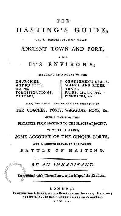
Hastings' very first guidebook appeared in 1794. What is surprising, given the size of the population, is that it was thought to be worth publishing a guide book to Hastings at all. It of course included brief details of the Battle of Hastings and places near Hastings thought to be worth visiting and that over the next 20 years that guidebook would be updated and run to several updated editions before other guides appeared on the scene. The frontispiece of the first edition tells us that it was published by 'an inhabitant', it was in fact written by John Stell who had opened a library in 1788. His rival James Barry, opened the Marine library and billiard room on Marine Parade in 1791 and went on to buy out Stell and the copyright to the Hastings Guide. The second edition was published in 1797 under James Barry's own name. To put the period into context the Napoleonic wars were raging from 1793 to 1815 with Trafalgar and Waterloo yet to come. King George III had been on the throne since 1760 and was to reign until 1820. In the text the letter 's' appears as the letter 'f ', a practice that was to continue until at least 1810.
By the third edition of 1804 the guide publishes its own version the 1801 Census showing houses and occupations by parish (giving a total population of 2982) this edition also lists all 14 coasting vessels belonging to Hastings, the nine gunboats (all equipped with two 18 pounder guns each) , the 11 armed fishing boats each equipped with a 12 pound carronade and their owners.
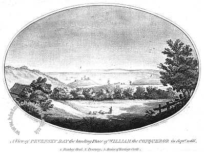
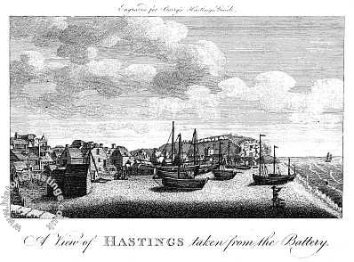
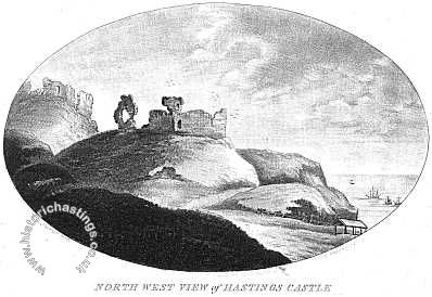
It must be remembered that illustrations had to be individually engraved and were therefore quite expensive. The first guide carried three illustrations and a map, later editions added a view from the Battery and had four illustrations. A closer look at the map shows Hastings confined to the old town and no sign of St Leonards and note the barracks at Halton.
The battery referred to was started in 1759 when the Board of Ordnance built a gun platform for coastal protection purposes near the western end of George Street – roughly opposite where the Boating Lake is today. As a bonus it also protected the shoreline at that point and survived the great storms of January 1792 and November 1824. In 1831 it was still in use and mounted six 24 pounders only to succumb to undermining by a storm in 1842 after which the board gave it to the Corporation who pulled it down to extend the Parade.
The view of Hastings Castle shows the area before Wellington Square was built and before the cliff was cut away to build Pelham Crescent. The iconic arch of the entrance to the remains of the chapel in the Castle was not rebuilt until the early 1820s. Note the Black Arches in the Entrance to Hastings picture and the windmills and lack of houses in the Pevensey Bay picture.